PLOTO’s WP5 aims to develop a comprehensive monitoring and mapping system by incorporating multi-sensor data e.g., terrestrial and/or satellite images, 3D point clouds, multispectral, hyperspectral, thermal data etc. and advanced computer vision algorithms, e.g., deep learning algorithms, tensor Algebra decomposition. The monitoring system will perform the flaw and degradation synoptic assessment for different disaster scenarios, will ensure regular and efficient maintenance, will provide early detection of damage, degradation and emerging hazards and will offer rapid post-hazard damage inspection and performance assessment of the assets. The main scope is to provide efficiently, regularly and in almost real-time maps in order to (a) estimate and model the river’s geometry (surface and bed level) based on satellite images, in-situ measurements and ground sensors, UAVs and remote sensing, (b) generate regularly updated reference data such as water maps, (c) provide land cover maps, (d) detect floods, landslides, deformations, flaws. Applying change detection approaches such as Change History Maps in the context of the derived 4D models will allow for detection of structural deformations and other types of alterations in both specific infrastructures and wider areas of the IWW. Moreover integrated methodologies will be investigated based on 3D point clouds/meshes and multispectral/thermal/hyperspectral data to provide deterioration and material loss maps for specific infrastructures.
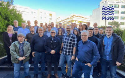
Written by Margarita Skamantzari, Researcher, Lab of Photogrammetry, National Technical University of Athens.


